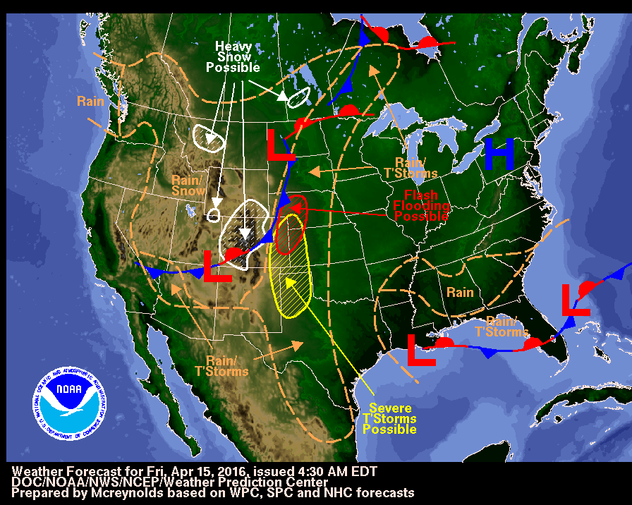
Record snow, cold, slams northern U.S. Rockies with winter-like weather
(Reuters) – Midwinter-like weather clobbered the northern Rockies Sunday and into Monday, making early Autumn feel like deep winter, while as much as 4 feet (121 cm) of snow fell in places and hard-hit Montana declared a state of emergency to clear blocked roads.
“You have to go back to the 1930s before you find another storm like this, this early in the season,” said Josh Weiss, a meteorologist with the National Weather Service’s (NWS) Weather Prediction Center.
“A pretty good swath of the northwest got 2-3 feet (60-91 cm) of snow,” Weiss said. “It’s a pretty good storm.”
About 19 inches of snow fell in northwestern Washington state, and light snow also fell in areas of California, Nevada, Wyoming, Oregon and Idaho, forecasters said.
Another 1-2 inches (2.5 – 5 cm) of snow was expected by mid-Monday in spots, with winter storm warnings in effect for western Montana and the mountains of northern Washington and northern Idaho.
Montana Governor Steve Bullock called an emergency on Sunday after 40 inches (101 cm) of snow fell in towns like Browning, forcing highway closures and a string of road accidents.
Temperatures dropped to record lows in the 20s F (-6.6 C) or below on Sunday night across western Montana and north-central Idaho, according to the NWS.
“With an unprecedented winter storm throwing our state a surprise in September, state and local governments are working closely together to protect the health and safety of Montanans,” Bullock said.
Strong winds blowing snow were expected to disrupt travel early Monday.
“The good news is that the storm is winding down,” Weiss said. “But it’s going to linger this morning.”
(Reporting by Rich McKay in Atlanta and Andrew Hay in Taos, New Mexico; Editing by William Maclean)


