
(Reuters) – Waves began to batter parts of the U.S. Gulf Coast on Tuesday as the region felt the first hit of Tropical Storm Gordon, which is expected to become a hurricane before it comes ashore with high winds and heavy rain, forecasters said.
The storm also caused a jump in global oil prices after the evacuation of two oil platforms in the Gulf of Mexico.
Gordon was due to come ashore late on Tuesday near the border between Louisiana and Mississippi, and drop as much as 12 inches (30 cm) of rain in areas still recovering from last year’s hurricanes, the National Hurricane Center said.
Currently carrying winds of around 65 miles per hour (105 km per hour), the storm was expected to pack hurricane-force winds – of at least 74 mph (119 kph) – when it reached the north-central Gulf Coast, the center said.
High surf was already hitting Alabama’s Dauphin Island early Tuesday, the National Weather Service office in Mobile said on Twitter.
Louisiana Governor John Bel Edwards declared a state of emergency and said 200 Louisiana National Guardsmen were being deployed, along with 63 high-water trucks, 39 boats, and four helicopters.

Trees sway as Storm Gordon descends on Fort Lauderdale, Florida, U.S., September 3, 2018 in this still image taken from a video obtained from social media. @Saralina77/via REUTERS
New Orleans’ mayor, LaToya Cantrell, declared her own state of emergency and closed all non-essential government offices.
Storm surge of as much as 5 feet (1.5 m) could hit a stretch of coast from Shell Beach, Louisiana, to Dauphin Island, Alabama, forecasters said. The Mississippi Emergency Management Agency told South Mississippi residents to be prepared to evacuate.
As of Tuesday morning, Gordon was located about 190 miles (305 km) east-southeast of the mouth of the Mississippi River, and was heading west-northwest, the Miami-based hurricane center said.
U.S. oil producer Anadarko Petroleum Corp evacuated workers and shut production at two offshore oil platforms on Monday, and other companies with production and refining operations along the Gulf Coast said they were securing facilities.
The Gulf of Mexico is home to 17 percent of U.S. crude oil and 5 percent of natural gas output daily, according to the U.S. Energy Information Administration. More than 45 percent of the nation’s refining capacity is located along the Gulf Coast.
The U.S. Coast Guard said the ports of New Orleans as well as Gulfport and Pascagoula, Mississippi, may have to close within 48 hours.
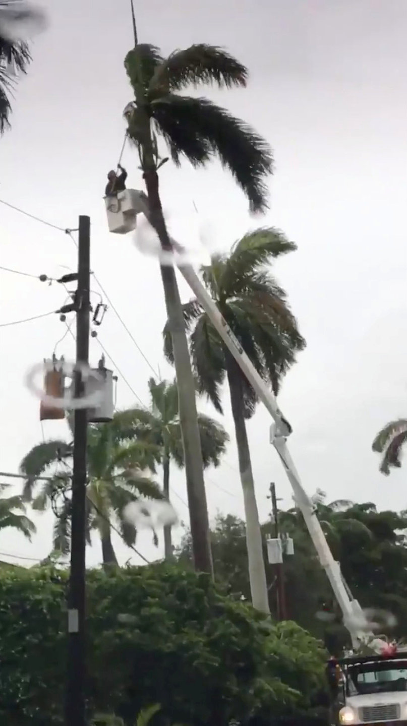
Maintenance crew work near power lines during an outage after Storm Gordon descended on Miami Beach, Florida, U.S., September 3, 2018 in this still image taken from a video obtained from social media. @ZwebackHD/via REUTERS
Last year, powerful hurricanes hit Texas, Florida and Puerto Rico, causing thousands of deaths, hundreds of billions of dollars worth of damage and massive power outages.
Gordon passed over Florida’s southern tip on Monday afternoon. There were no reports of any injuries or deaths or any damage to buildings, said Alberto Moscoso, a spokesman for the Florida Division of Emergency Management.
(Reporting Brendan O’Brien in Milwaukee and Scott Malone in Boston; Editing by Louise Heavens, Andrew Heavens and Frances Kerry)


