By Keith Coffman
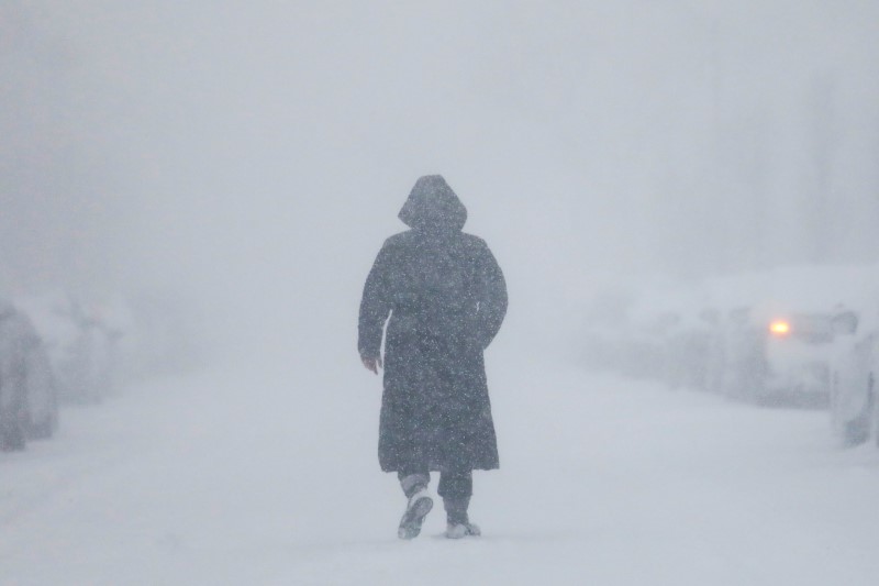
DENVER (Reuters) – A late-winter blizzard slammed U.S. Rocky Mountain and Plains states on Wednesday, unleashing a “bomb cyclone” of high winds and drifting snow that stranded motorists, canceled more than 1,300 airline flights and was blamed for the death of a Colorado state trooper.
Colorado Governor Jared Polis declared a state of emergency due to the storm and said he had activated the state National Guard to assist in search and rescue operations.

Corporal Daniel Groves, 52, of the Colorado State Patrol is pictured in this undated handout photo obtained by Reuters March 13, 2019. Colorado State Police/Handout via REUTERS
The National Weather Service issued blizzard warnings for parts of Colorado, Wyoming, Nebraska and the Dakotas as schools and businesses were closed and local authorities urged residents to hunker down.
Meteorologists referred to the storm as a “bomb cyclone,” a winter hurricane that forms when the barometric pressure drops 24 millibars in 24 hours.
“So far, we have received 110 traffic crash reports and #Denver remains on #AccidentAlert,” the Denver Police Department said on Twitter.
“If you absolutely have to head out, please be cautious- it’s still #snowgoing out there. Turn your lights on, set the wipers on high; don’t forget the extra stopping distance. #BombCyclone”
The Colorado State Patrol said one of its troopers, Corporal Daniel Groves, was struck by a car that veered out of control on Interstate 76 and he died of his injuries a short time later at Platte Valley Medical Center in Brighton.
At the time, Groves, 52, was on the scene of another accident in which a vehicle had slid off the roadway, the state patrol said. It added that “high speed in poor driving conditions” was being investigated in connection with the crash that caused his death.

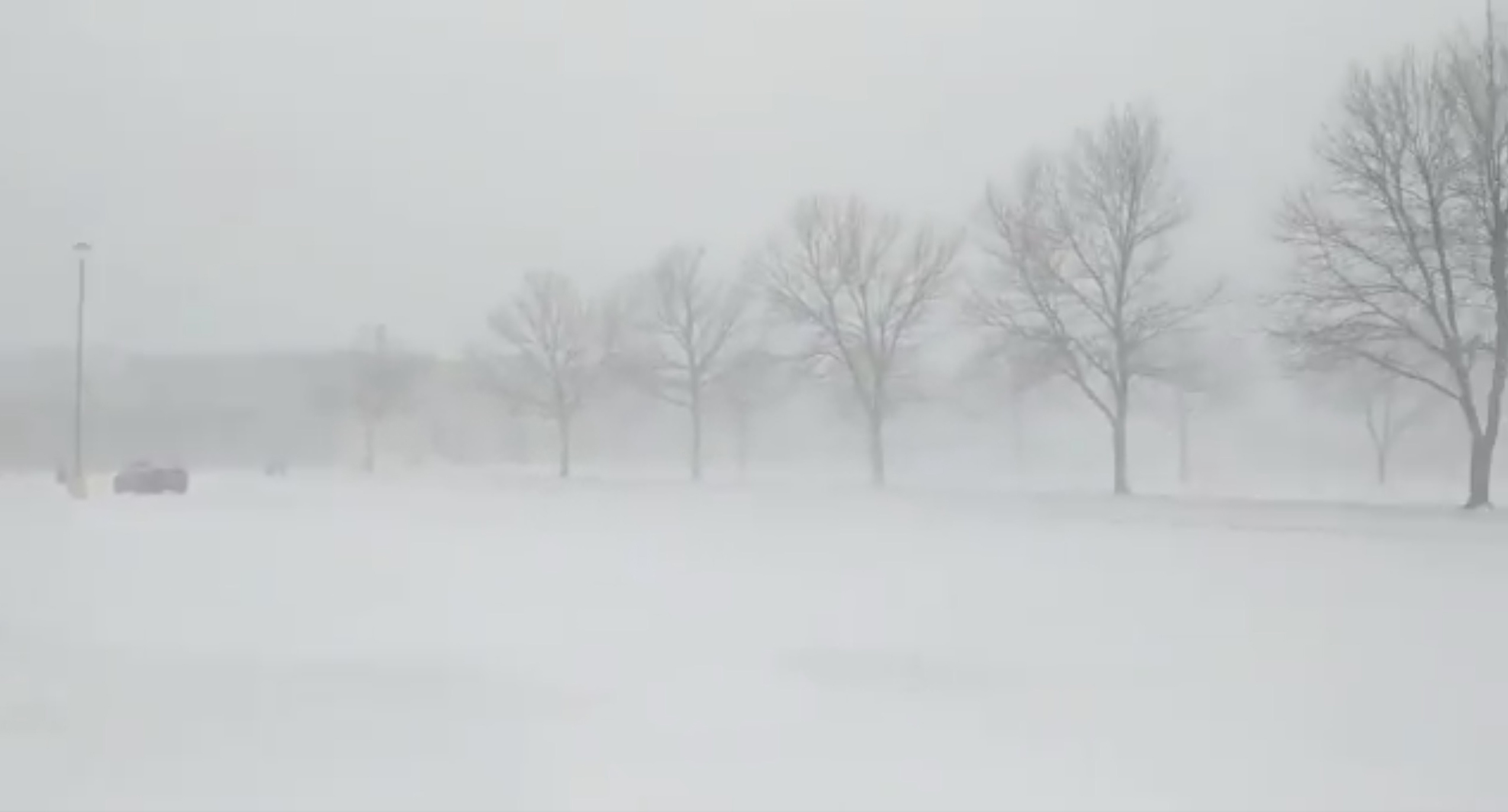
A general view of the blizzard in Greeley, Colorado, U.S. March 13, 2019 in this picture obtained from social media. Mandatory credit TWITTER @PHOTOWILLG/via REUTERS
FLIGHTS DELAYED, CANCELED
All six runways at Denver International Airport were shuttered, along with the main road into the airport due to drifting, blowing snow. An airport spokesman said 1,339 flights had been canceled as of mid-afternoon. Colorado Springs Municipal Airport canceled all incoming flights.
All school districts in the seven-county Denver metropolitan were closed, along with most city and state government offices and many businesses.
Officials in El Paso County, Colorado, said some 1,100 motorists were stranded on Interstate 25 near Colorado Springs.
Utility company Xcel Energy said about 130,000 commercial and residential customers in Colorado were without power due to high winds and wet heavy snow.
“Limited visibility has affected our ability to respond,” Xcel Energy spokesman Mark Stutz said, adding it was unclear when power would be restored.
The police department in Northglenn, Colorado, tweeted a picture of a large tree that fell on a home, breaking through the roof. It was not immediately clear if anyone was hurt.
Interstate 70 was closed east of Denver to the Kansas state line and sections of Interstate 25 were also shut down, according to Colorado Department of Transportation.
“They typically do get strong systems this time of the year in that part of the country, but this one is maybe a notch stronger than what you typically see,” said meteorologist Marc Chenard of the weather service’s Weather Prediction Center in College Park, Maryland.
Forecasters said they expect winds of up to 70 miles per hour (110 kph) to sweep across a wide area of states to the south, including New Mexico and parts of Texas, Oklahoma and Kansas.
“Pretty much through much of the Plains there’s going to be a threat for potential power outage issues,” Chenard said.
More than 100,000 electric power customers in the Dallas-Fort Worth area were left in the dark early on Wednesday after a line of rain squalls associated with the system moved through the area.
The storm was also expected to bring heavy rain to areas of eastern Nebraska, Iowa, Wisconsin and Minnesota that already have a good deal of snow on the ground, raising the threat of river flooding, the weather service said.
The storm system is expected to weaken by Thursday as it moves over the Tennessee River Valley, bringing mostly rain from Michigan southward to the Gulf Coast and some remaining snow only in the far northern parts of the country, the weather service said.
(This story corrects name of Colorado governor in second paragraph)
(Reporting by Keith Coffman in Denver; additional reporting Peter Szekely in New York, Brendan O’Brien in Milwaukee and Dan Whitcomb in Los Angeles; Writing by Dan Whitcomb in Los Angeles; Editing by Bill Tarrant and Sandra Maler)