
(Reuters) – Hurricane Dorian is forecast to strengthen and become a highly dangerous Category 4 hurricane on Sunday, threatening the Atlantic coast of central and south Florida, the National Hurricane Center said on Thursday.
Spurred on by warm Atlantic waters, Dorian is predicted to pack winds reaching 130 mph (209 kph) in 72 hours, the Miami-based forecasting center said.
That would make it a Category 4 storm, the second-strongest type on the Saffir-Simpson scale for measuring hurricane intensity. The center describes Category 4 storms as capable of causing “catastrophic damage” including severe damage to well-built homes. It said in such storms, “Most trees will be snapped or uprooted and power poles downed.”
Dorian is likely to make landfall on Florida’s eastern coast on Monday, before lingering over central Florida on Tuesday, forecasters at the hurricane center said in an advisory.
Currently a Category 1 hurricane, Dorian took aim at the Bahamas and the Florida coast on Thursday after sideswiping the Caribbean without doing major damage. Dorian is expected to strengthen and slam the Bahamas and the southeastern United States with rain, strong winds and life-threatening surf over the next few days.
U.S. President Donald Trump urged Floridians to heed official warnings. Governor Ron DeSantis declared a state of emergency on Wednesday and asked residents along the state’s east coast to stock up with at least seven days worth of supplies such as food and water.
“Hurricane Dorian looks like it will be hitting Florida late Sunday night,” Trump wrote on Twitter. “Be prepared and please follow State and Federal instructions, it will be a very big Hurricane, perhaps one of the biggest!”
The U.S. Coast Guard said all pleasure boats at the Port of Key West should seek safe harbor before the Labor Day weekend begins and ocean-going vessels should make plans to leave the port ahead of the storm.
‘EXTREMELY DANGEROUS’
“Dorian is expected to become a major hurricane on Friday, and remain an extremely dangerous hurricane through the weekend,” the hurricane center said, warning of an increasing likelihood of life-threatening storm surge along portions of Florida’s east coast late in the weekend.
The storm was packing maximum sustained winds of 85 miles per hour (137 km per hour) on Thursday morning some 220 miles (355 km) north-northwest of San Juan, and about 370 miles (600 km) east of the Bahamas, the hurricane center said.
“On this track, Dorian should move over the Atlantic well east of the southeastern and central Bahamas today and on Friday,” forecasters said, “and approach the northwestern Bahamas Saturday.”
The storm could affect big population centers as well as major Florida tourist destinations.
The Universal Orlando Resort theme park, owned by Comcast Corp, said it was following the approaching storm closely.
“We are closely monitoring the weather. At this time our park operations and hours are continuing as normal. We have plans and procedures for serious weather that are time-proven and we will continue to make operating decisions as we learn more,” a theme park representative said in an email.
Dorian is expected to become a major hurricane by Friday afternoon and continue to gain strength until it makes landfall.
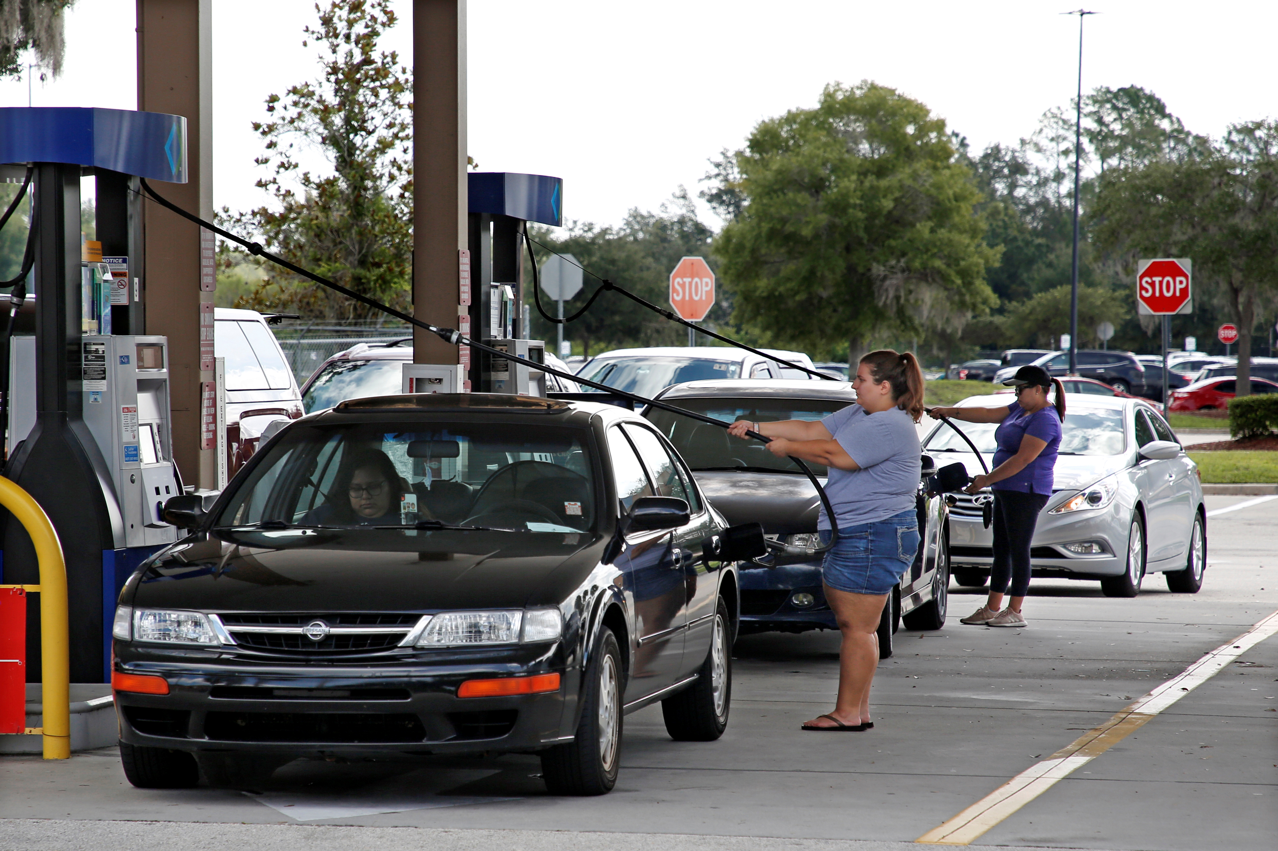
Local residents fill their cars with gas after waiting in line ahead of the arrival of Hurricane Dorian in Kissimmee, Florida, U.S. August 29, 2019. REUTERS/Gregg Newton
Trump issued an emergency declaration on Wednesday night for the U.S. Virgin Islands, ordering federal assistance with disaster relief for the U.S. territory. On Tuesday, he made a similar declaration for Puerto Rico, and also renewed a feud with island officials over how disaster relief funds from previous hurricanes.
Puerto Rico is still struggling to recover from back-to-back hurricanes in 2017 that killed about 3,000 people soon after the island filed for bankruptcy. On Wednesday, it escaped fresh disaster as Dorian avoided the territory and headed toward Florida.
Preparations were mounting in the Bahamas, which could be hard hit.
Jeffrey Simmons, the country’s acting director of the Department of Meteorology, said severe weather could strike the southeast Bahamas and the Turks and Caicos Islands on Friday.
(Reporting by Gabriella Borter in New York and Rich McKay in Atlanta; Additional reporting by Helen Coster in New York; Writing by Alistair Bell; Editing by Will Dunham)


